
Predator Free Tamahere Project Area
Predator Free Tamahere covers Tamahere’s gullies, reserves, bush blocks, gardens and Waikato River edge. Our project area helps link predator-control efforts from Predator Free Cambridge to the south, Predator Free Mystery Creek to the west, and Riverlea Environment Society and Friends of Mangaonua to the north.
Our main focus is on Tamahere’s gully systems, streams and river-edge habitat, including the Mangaharakeke, Putaorangihoko, Mangaone, Mangaomapu and Mangaonua stream corridors. These areas provide important habitat and movement corridors for native wildlife, including long-tailed bats, birds, lizards and insects.
Our work takes place within the rohe of Ngāti Hauā, and we acknowledge their deep connection to these lands and waterways.
Why the map matters
The map shows the Predator Free Tamahere project area, including local streams, gullies, river corridors, reserves and areas of woody vegetation.
These connected habitats are important pathways for native wildlife — but they can also be movement corridors for predators. That is why predator control across private gardens, lifestyle blocks, gullies and river-edge properties is so important.
Much of Tamahere’s predator control happens on private property, alongside our volunteer-led trapping on public reserves and council land. Every property we know about helps us see what’s already happening, identify gaps, and strengthen connected predator control across Tamahere.

Live Trap.NZ project map
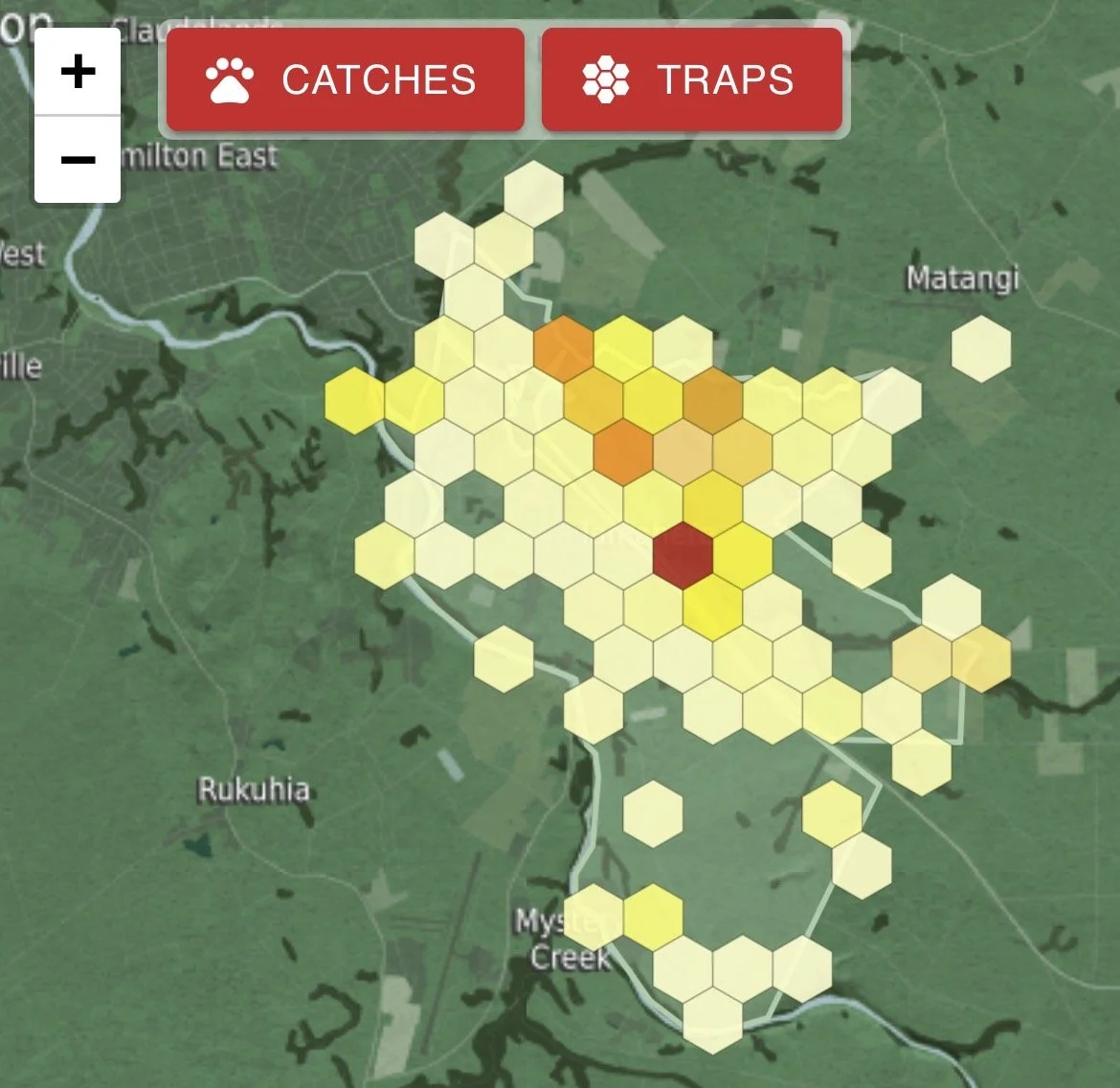
Our live Trap.NZ project map shows recorded traps and catches across Tamahere. It helps show known predator-control activity, but it doesn’t include everyone who is trapping privately.
Many Tamahere residents trap, use bait stations, or manage pests without using Trap.NZ. If that’s you, please tell us what’s happening on your property — especially if you’re near a gully, bush block or the Waikato River edge.
You don’t need perfect records. Even a rough update helps us understand real local coverage, identify gaps, support priority habitat areas, and build a stronger connected predator control network.
Doing any predator control at your place? Tell us what’s happening.